3 D Modeling & Data Analysis

Powerful Data Analysis


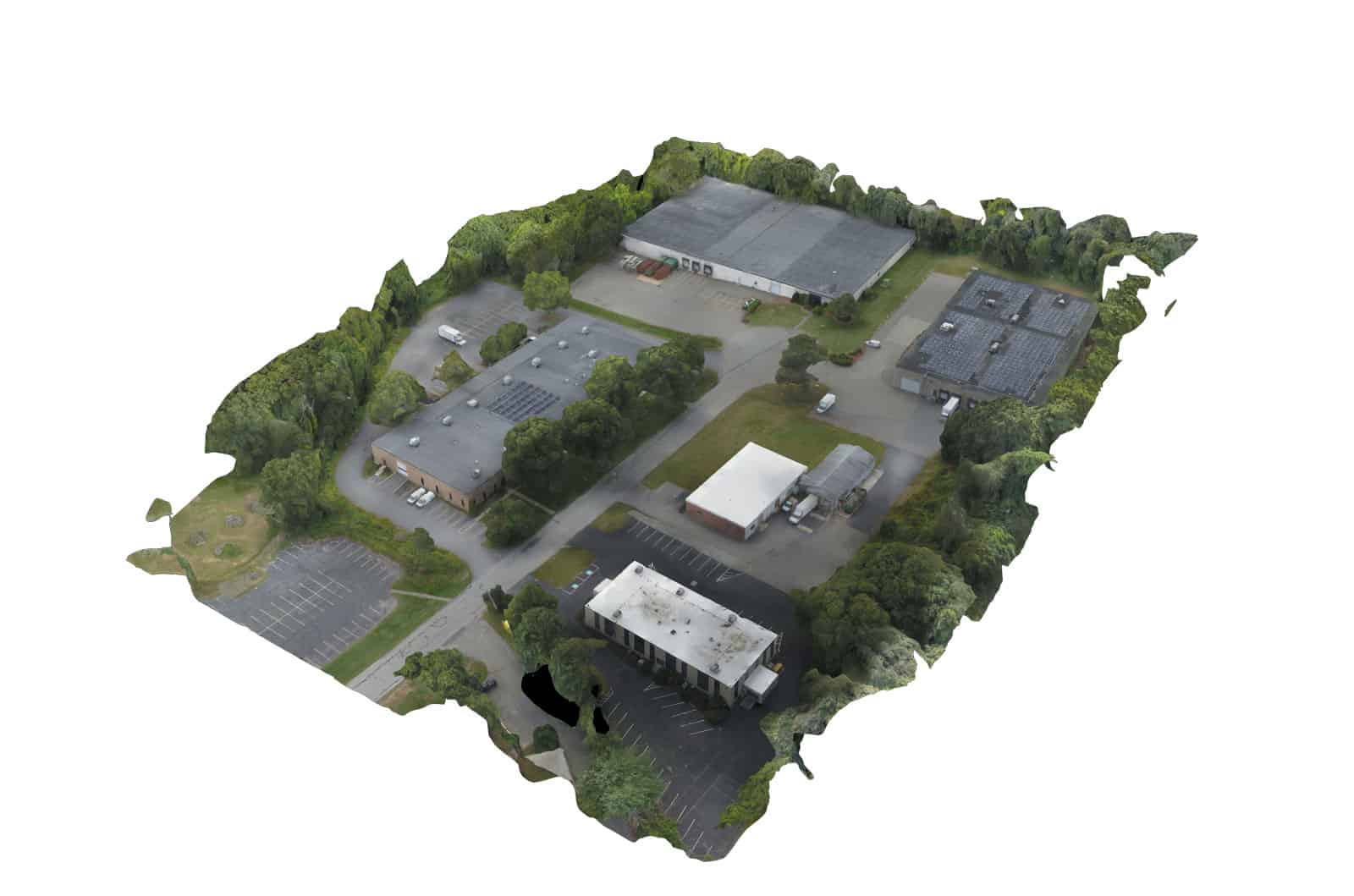
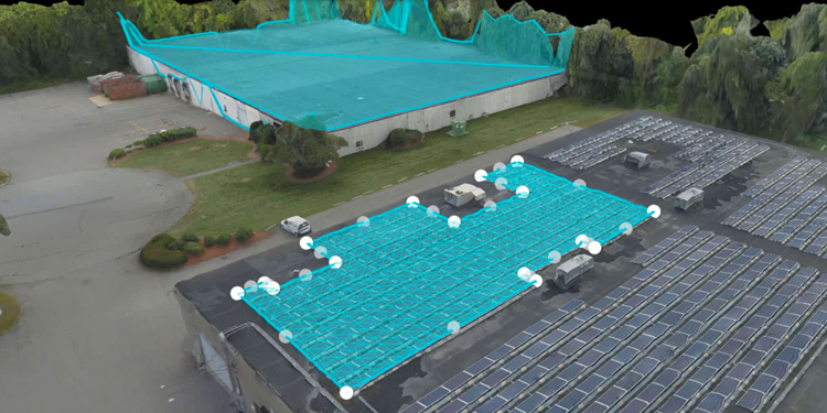
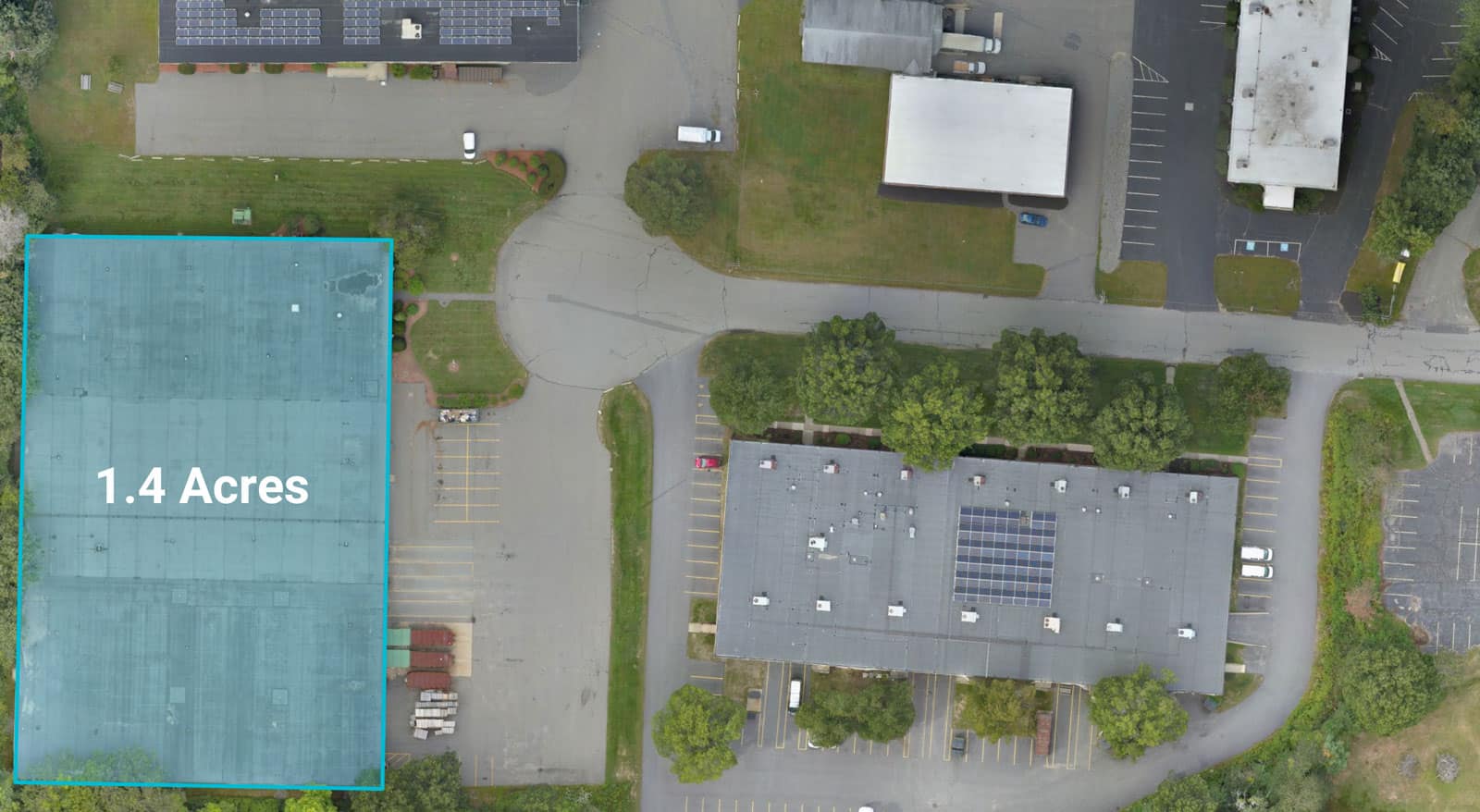
Make advanced measurements and calculations on your model. Select points to measure the area of a rooftop, the distance between points, and even the volume of a stockpile.

Your model will display your points in 3D space and allow you to adjust them for precision and accuracy. 

Put Your Development Model in Context


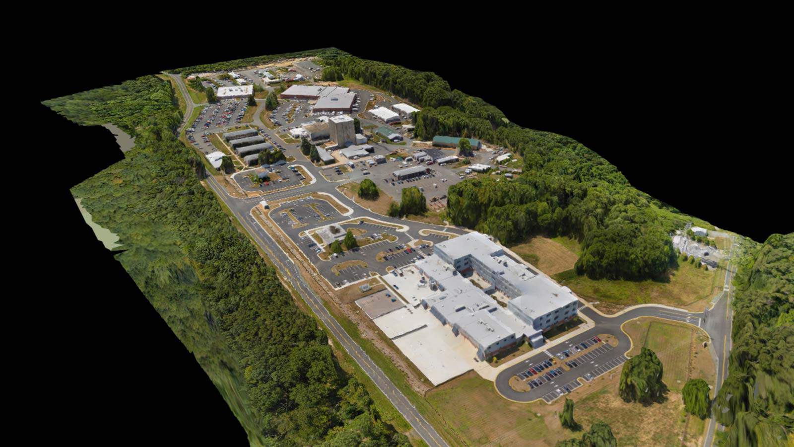
Have a beautiful 3D rendering of your upcoming building and want to showcase it to potential clients, customers, or investors? Creating a 3D model of the surrounding area can be a great way to put your development in context.

Show how your future building will look, how the structure will integrate into the landscape, and other benefits your project has to offer.

Orthomosaic Mapping,

It's like Google Earth, but Way Sharper


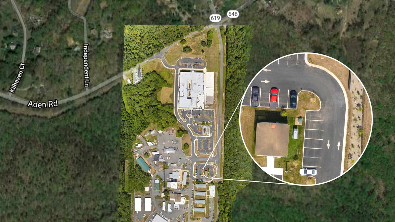
Our orthomosaic mapping technology uses the drone's GPS location while its flying to stitches together thousands of high-resolution images and create a precise orthomosic map.

With map resolutions up to 0.7 inches per pixel, you'll be able to see individual blades of grass poking through cracks in the parking lot. This level of detail & precision of such a large area is only possible with specialized mapping technology.